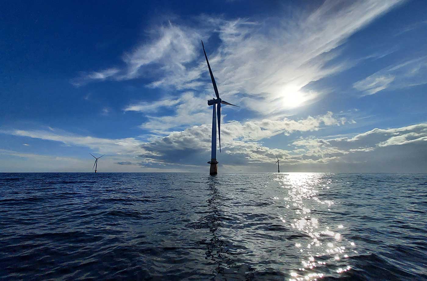
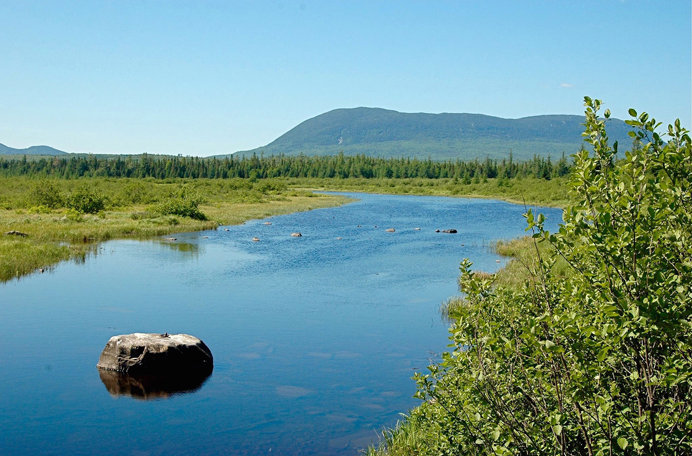
The winds that whip across the ocean waters far off Maine’s coastline are a sign of hope as we seek to rapidly reduce our reliance on dirty and expensive fossil fuels and avert the worst impacts of climate change. Placing offshore wind turbines in the Gulf of Maine using floating technology developed by researchers and Read More
Maine Environment Newsletters
Maine Environment newsletters are informative news publications that keep NRCM members up to date on the environmental challenges facing Maine, including ways to take actions to help.
Learn about our work addressing the effects of climate change in Maine, what NRCM is doing to keep Maine's waters healthy, how we protect Maine's forests and wildlife, and ways you can help make Maine communities more sustainable. Get up-to-date information about legislative issues at the state and federal level that may impact the environment Maine people and visitors to our state treasure.
We also produce two special editions of Maine Environment. Our Legislative Priorities highlights proposed legislation NRCM staff will be paying close attention to during each upcoming legislative session, and our one-of-a-kind Report Card for Maine’s Environment appears post-session to show where Maine’s elected officials were successful—or not successful—at protecting land, air, waters, and wildlife Mainers rely upon for a strong economy and healthy lives.
The Natural Resources Council of Maine is a nonprofit membership organization protecting, restoring, and conserving Maine's environment, now and for future generations.
Maine Environment Fall-Winter 2023 Newsletter
In this issue of Maine Environment, our feature story is about our work to set the stage for Maine’s clean energy future with an offshore wind procurement bill we helped to pass through the 2023 Maine Legislature, with a unique coalition of partners including other environmental organizations, organized labor, and fishing groups. You can read NRCM Read More
Connecting with Community — Reflections on Our Year Together
As 2023 comes to a close, we are entering the traditional season for reflection. This is the time that we look back over the past year, give thanks, and begin to envision what future the new year holds. For me, this has been a momentous year, and I am especially grateful for your warm welcome Read More
Maine Environment Spring-Summer 2023 Newsletter
In this issue of Maine Environment, our feature story is about the work we did to modernize Maine’s highly successful Bottle Bill. The two bills that Governor Mills signed into law (LD 134 and LD 1909) will streamline the work redemption centers have to do to recycle our cans and bottles and increase the handling fees Read More
Modernizing Maine’s Bottle Bill
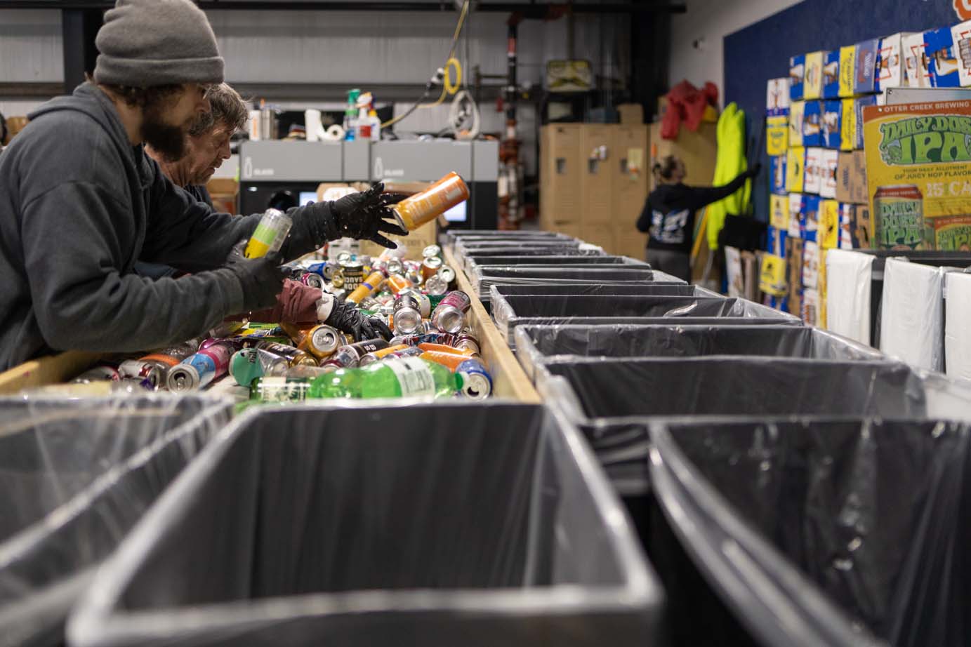
Step into your local redemption center and what you will see is the heart and soul of Maine’s most effective recycling and litter prevention program. At Patman’s Redemption Center in Windham, hardworking employees are in a constant state of motion, hand-sorting thousands and thousands of bottles and cans brought in by a seemingly endless flow Read More
Diana Roper McDowell, An Artist with an Eye on the Nature of Maine

Diana Roper McDowell has devoted much of her life to nonprofits. Currently a member of the NRCM board of directors, she recently retired, after 20 years, from Friends of Acadia, and spent substantial time at others as well. While the mission of local nonprofits inspires her heart, it is the nature of Maine that captures Read More
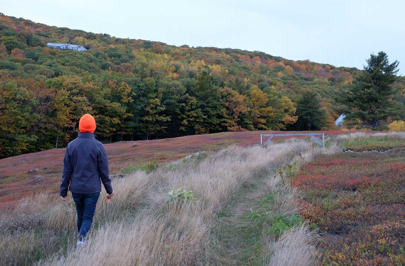
Exploring Maine’s Extraordinary Trails: NRCM Staff, Board, and Member Picks
Maine people, communities, and businesses share a passion for Maine trails. This legislative session, 300 different groups from across the state expressed their support for a four-year, $30 million Maine Trails Bond to invest in design, development, and maintenance of trails for hiking, biking, snowmobiling, skiing, commuting, and other activities. In celebration of this effort Read More
Guide Booked: An Interview with Keaton McEvoy, Registered Maine Guide
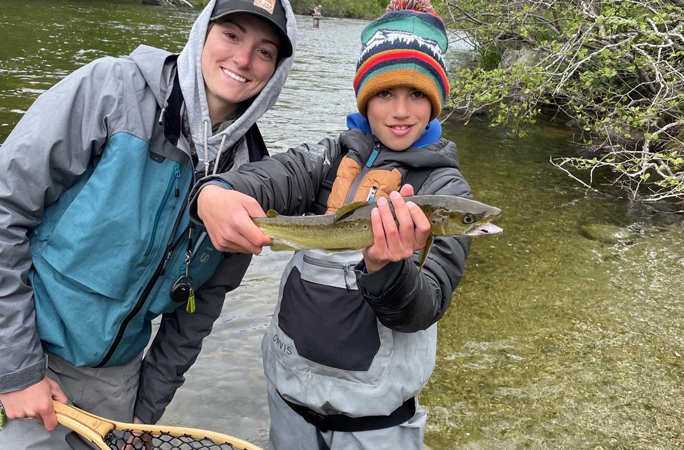
Keaton McEvoy was born into the family who, for the last 21 years, has owned one of the oldest and most revered sporting camps in the country, Weatherby’s Maine Hunting and Fishing Lodge, located Downeast at Grand Lake Stream. But it wasn’t until she was out of college that she decided to carry on the Read More
Connecting with Community—Listening to Aroostook County Voices
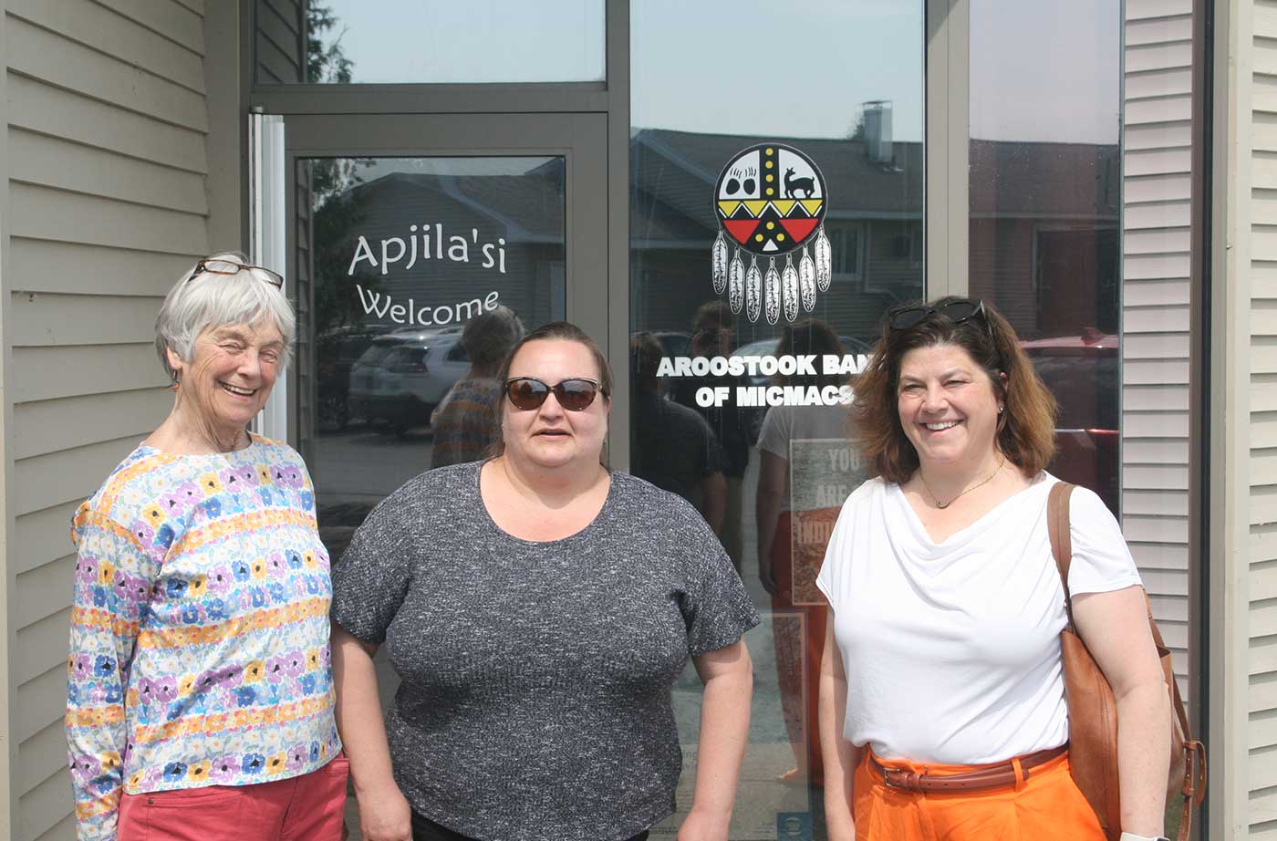
I believe in the fundamental right to a thriving and beautiful environment. For everyone. Everywhere. We are so fortunate in Maine to be greeted each morning with birdsong and beautiful vistas. For more than 60 years, NRCM has been powered by people across the state who take action to protect our healthy lands, waters, and Read More